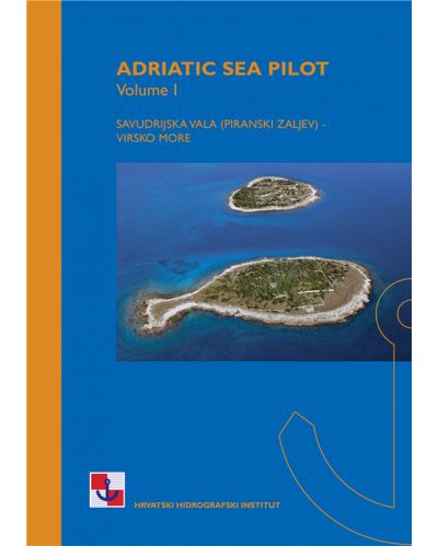
Navionics Platinum+ NPEU014R Italy Adriatic Sea
- 3D View
- Fotografija iz zraka
- Satelitske slike sa SonarChartTM preklapanjem zasjenjenja
- Reljefno sjenčanje visoke razlučivosti
- Obalna pokrivenost jadranske obale Hrvatske, Italije, Slovenije, Albanije, zapadne obale Grčke ...
- SD/MSD
Šifra proizvoda: NPEU014R
Obalna pokrivenost rijeke Po i jadranske obale Italije, Slovenije, Hrvatske, Albanije, zapadne obale Grčke i južne Italije. Pokrivenost uključuje istočnu Siciliju, Messinski tjesnac, Dalmatinsku obalu, Tarantski zaljev, Lago Maggiore, Lago d'Iseo, Lago di Como i Lago di Garda.
Chart Code: NPEU014R
Coastal coverage of the Po River and the Adriatic coast of Italy, Slovenia, Croatia, Albania, the western coast of Greece and southern Italy. Coverage includes eastern Sicily, the Straits of Messina, the Dalmatian Coast, the Gulf of Taranto, Lago Maggiore, Lago d'Iseo, Lago di Como and Lago di Garda.
| Navionics+ |
Platinum+ |
| Coastal Content |
• |
• |
| Inland Content |
42,000+lakes |
42,000+lakes |
| Detailed Nautical Charts |
• |
• |
| SonarChartTM HD Bathymetry |
• |
• |
| Daily Updates1 |
• |
• |
| Dock-to-dock Route Guidance 1,2 |
• |
• |
| Plotter Sync1 |
• |
• |
| Community Edits |
• |
• |
| Advanced Map Options1 |
• |
• |
| SonarChartTM Live Mapping3 |
• |
• |
| High-resolution Relief Shading1 |
|
Via Chart Installer |
| Satellite Imagery with SonarChartTM Shading Overlay1 |
|
Via Chart Installer |
| Sonar Imagery1 |
|
Via Chart Installer |
| Aerial Photography |
|
• |
| 3D View |
|
• |
This product is NOT compatible with GARMIN GPS chartplotters

